
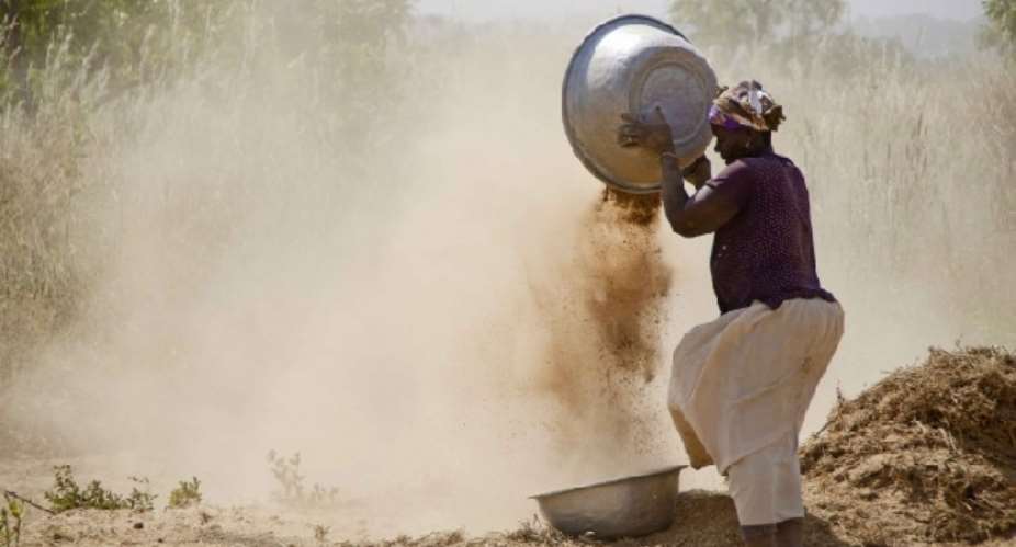
Nabdam District in the Upper East Region has emerged with the highest rate of multidimensional poverty among all 261 districts in Ghana, standing at a staggering 68.6 per cent.
This was disclosed by the Ghana Statistical Service (GSS) in its Multidimensional Poverty Index Scorecard.
The GSS presented this comprehensive scorecard covering all 261 Administrative Districts as part of the commemoration of the 2023 African Statistics Day on Tuesday, November 21, 2023.
The rate in Nabdam is approximately 11 times higher than that of the 6.3 per cent recorded in the Asokwa Municipality of the Ashanti Region, which is the lowest rate.
The report from the GSS further highlights disparities across districts, with 55 of them, encompassing both rural and urban settlements, exhibiting a minimum difference of 20.0 percentage points in the incidence of multidimensional poverty.
Kwahu Afram Plains North displayed the highest disparity, with a significant difference of 38 per cent.
The GSS further emphasises a notable gender disparity in its findings.
“In nine out of every ten districts, multidimensional poverty is more prevalent in female-headed households compared to those headed by males,” the report stated.
This multidimensional poverty indicator is a non-monetary deprivation measure that comprises 13 indicators in four dimensions i.e., living conditions (electricity, housing, assets, overcrowding, cooking fuel, water, and toilet facility); education (attendance, attainment, and school lag), health (insurance coverage and mortality), and employment (work for wage or profit).
The district scorecards provide statistics on the proportion of the population within the district that lives in multidimensionally poor households, experiencing multidimensional poverty), and the ranking of the district relative to other districts in the region and to all districts in the country.
The scorecard also presents information on the areas in which poor persons in the district are most deprived. The data source is the 2021 Population and Housing Census, according to the GSS.
-classfmonline
 Western North been sidelined for far too long; address our needs before 2024 ele...
 Effutu: 'Stop eating at night and take care of your health' — Afenyo Markin advi...
 Akufo-Addo's desperate attempt to disrupt Yagbonwura's 1st year anniversary cele...
 Armed robbers attack, rob Sethi Brothers Ghana Limited in Tema
 SML deal: We commend Manasseh for holding gov't to account, Akufo-Addo for not s...
 Our recall invocation is in good faith to consider three key issues – Majority
 You’re inviting bad luck upon yourself if you use Indian hair — Spiritualist war...
 Ejisu by-election: Police questions Kwadaso MP, two others over bribery allegati...
 Nana Kwame Bediako is Nkrumah’s reincarnate; he’ll be president if he appoints N...
 Dumsor: Mahama gave us ‘dum, dum, dum’ but we are now in the era of ‘dum sie sie...
