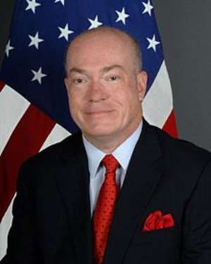
The United States Ambassador to Ghana, Mr. Robert Porter Jackson, has entreated journalists to effectively use maps and satellite imagery to tell compelling stories in order to inform policymakers about the state of the environment.
He said the effective use of data visualisation tools would provide Ghana the opportunity to get ahead of any crises or unrest that may arise from environmental degradation.
'Maps will provide early warning systems that can show for example, when water bodies are narrowing from poor resource management. Map data and satellite imagery can help guide how we watch, protect and preserve natural resources,' he said.
Ambassador Jackson said this at a day's workshop organised by the United States Agency for International Development (USAID) in Accra on Monday, to empower local media partners to use data visualization tools such as maps and satellite imagery to deliver compelling stories that would make impact on society.
He said using information from maps and satellite imagery would help media organisations in their advocacy campaigns, programming and advocacy.
'Most of us have heard the expression that a picture speaks a thousand words, but I think that is particularly true as we examine the pictures and the satellites images that have been captured to highlight changes in land use.
'Moreover, the relevance of land use and land cover to national development cannot be emphasised, especially at a time when Ghana is dealing with the challenges of illegal mining,' he noted.
The US Ambassador noted that, the Atlas produced from the Land Use and Land Cover project revealed dramatic changes in land cover due to agricultural expansion, saying; 'There was a 56 per cent increase in agricultural land use between 1975 and 2013.'
Ambassador Jackson said real-time data could influence policy formulation when government, communities and researchers knew what was driving changes in the landscape and, thus, enabled them to make informed decision.
He said as part of the Feed the Future initiative, USAID was working with the Government of Ghana to increase food production while preserving and protecting the forests and environment.
The US Ambassador said continuous monitoring of the changes to the environment would help the media and civil society organisations to undertake advocacy programmes and guide development efforts.
In a speech read on his behalf, Dr Osei Akoto, the Minister of Food and Agriculture, said information on maps and satellite imagery would help in land use and environmental management.
He said the training was timely as the country was battling forest and environmental degradation due to the activities of illegal small-scale miners and would guide media practitioners to undertake effective advocacy to curb the menace.
Dr Akoto noted that, the media was a change agent and expressed conviction that the objectives of the capacity-building workshop would be achieved through the use of maps and satellite imagery in storytelling.
He said the concept of the training tied-in with the government's modernisation agenda of agriculture-the ongoing implementation of the Planting for Food and Jobs programme.
The Minister commended the US government for supporting the training workshop and hoped beneficiaries would make effective use of the information on maps and satellite imagery to impact positively on society.
In all, there were about 50 journalists and representatives from civil society organisations drawn across the country took part in the workshop.
GNA
By Godwill Arthur-Mensah, GNA


 This IMANI job no dey pap; the people you are fighting for are always fighting y...
 Prof. Naana Opoku-Agyemang has changed; you can see a certain sense of urgency –...
 MFWA Executive Director slams Akoma FM for engaging in ‘irresponsible’ media pra...
 ‘Women must become millionaires too’ — Prof Jane Naana on establishment of Women...
 Some believe only in Ghanaian votes, not Ghana — Kofi Asare jabs politicians
 Plan to make BEST sole aggregator of Sentuo Oil Refinery will create market chal...
 2024 elections: I can't have the man I removed from office as my successor — Aku...
 2024 Elections: Immediate-past NPP Germany Branch Chairman garners massive votes...
 Gov’t focused on making Ghana energy self-sufficient, eco-friendly – Akufo-Addo
 April 25: Cedi sells at GHS13.74 to $1, GHS13.14 on BoG interbank
